![]()
New release of 300 m global land cover and 150 m water products (v.1.6.1) and new version of the User Tool (3.10) for download
On behalf of the ESA Land Cover consortium, it is our pleasure to inform you about the release of a new version of the ESA CCI Land Cover dataset (v 1.6.1) as well as a new version of the ESA CCI Land Cover User Tool (v.3.10), both available for download from http://maps.elie.ucl.ac.be/CCI/viewer/.
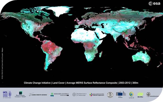
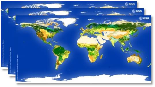
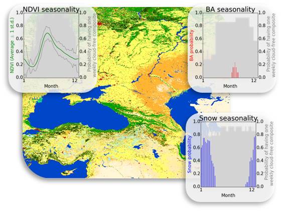
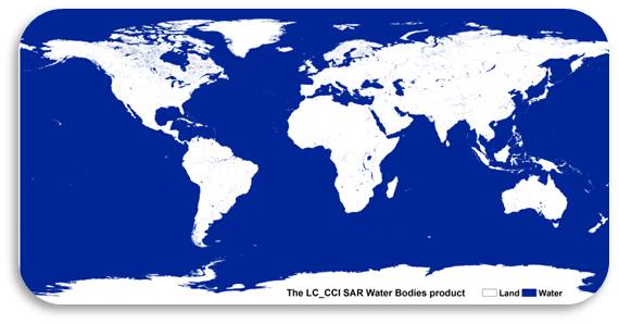
This new dataset includes the three land cover maps corresponding to the different epochs 2000 (from 1998 to 2002), 2005 (from 2003 to 2007), 2010 (from 2008 to 2012) with improved representation of lichen and mosses in the Boreal regions and of cropland patterns in the Democratic Republic of Congo. The new water/no water mask at 150 m builds on previous achievements using SAR systems and was further improved thanks to a combination with recent Landsat-derived products. The MERIS FR and RR 7-day surface reflectance composite have been reprocessed with improved quality controls and are also available. The version 3.10 of the User Tool allows aggregating/resampling/reprojecting the water mask as well as the Land Surface Seasonality products. The tool among other changes supports additional user maps (e.g. Koeppen-Geiger) as requested by climate users.
Would you have any specific question not addressed in the updated Product Users Guide regarding this release, please contact us at contact@esa-landcover-cci.org ">contact@esa-landcover-cci.org.
We would be pleased to highlight in the CCI Land Cover newsletter papers you have published making use of the CCI Land Cover dataset (including the previous versions of course), some illustrations of the CCI Land Cover data set use or your feedback about the CCI LC various products.
For your information, a version 2.0 of the ESA Land Cover dataset is currently in preparation based on a reprocessing of all remote sensing data to provide annual land cover information till 2015 and this is expected to be completed in 2016.


