![]()
New Release of the C3S Global Land Cover products for 2016, 2017 and 2018 consistent with the CCI 1992 – 2015 map series
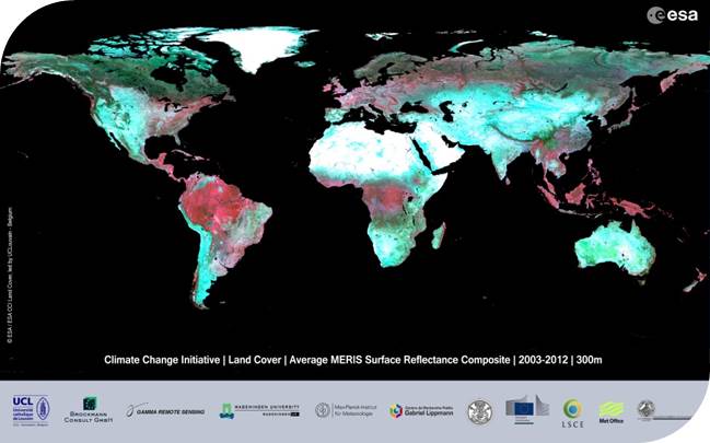
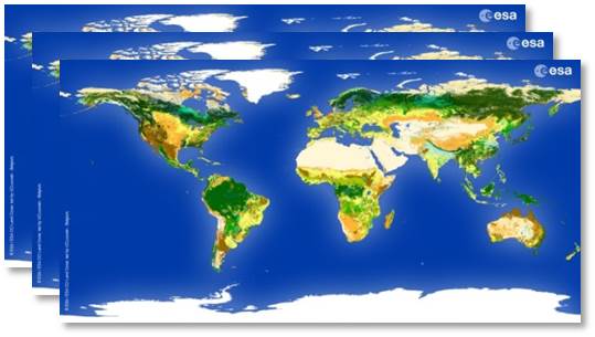
We are pleased to announce the release of the global land cover (LC) products for the years 2016, 2017 and 2018 in the framework of the Copernicus Climate Change Service (C3S). These global LC maps describe the land surface into 22 classes at a spatial resolution of 0.002778°. In order to ensure continuity, they are consistent with the global annual LC map series from 1992 to 2015 produced by the European Space Agency (ESA) Climate Change Initiative (CCI).
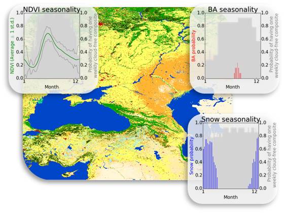
This dataset’s long-term consistency, yearly updates, and high thematic detail on a global scale is key for climate modellers, while also making it attractive for a multitude of applications such as land accounting, forest monitoring and desertification, in addition to scientific research.
The new maps (2016 - 2018) in the netCDF format are available for download through the C3S Climate Data Store (CDS). C3S is implemented by the European Centre for Medium-Range Weather Forecasts (ECMWF) on behalf of the European Commission.
Translating from netCDF to GTiff
The maps can be transformed to the GTiff format using GDAL as follows, replacing Year, Band_Name and Output_Filename with the parameters of interest:
gdalwarp -of Gtiff -co COMPRESS=LZW -co TILED=YES -ot Byte -te -180.0000000 -90.0000000 180.0000000 90.0000000 -tr 0.002777777777778 0.002777777777778 -t_srs EPSG:4326 NETCDF:C3S-LC-L4-LCCS-Map-300m-P1Y-Year-v2.1.1.nc:BandName OutputFilename.tif
with Year the year : 2016, 2017 or 2018; and BandName one of the following: lccs_class; processed_flag; current_pixel_state; observation_count; change_count.
gdalwarp -of Gtiff -co COMPRESS=LZW -co TILED=YES -ot Byte -te -180.0000000 -90.0000000 180.0000000 90.0000000 -tr 0.002777777777778 0.002777777777778 -t_srs EPSG:4326 NETCDF:C3S-LC-L4-LCCS-Map-300m-P1Y-2017-v2.1.1.nc:lccs_class C3S-LC-L4-LCCS-Map-300m-P1Y-2017-v2.1.1.tif


