![]()
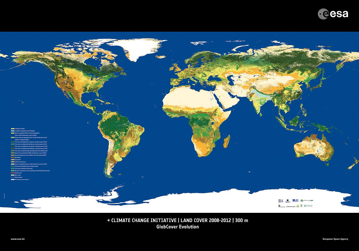
Internal release of global land cover map with improved accuracy over the existing state of the art (75.6%)
Submitted by Anonymous on Fri, 2013-01-11 07:50


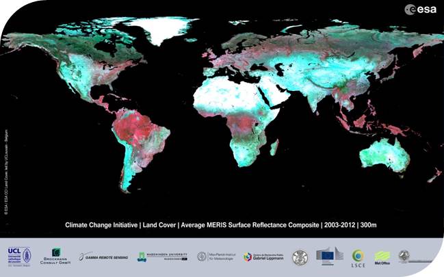
The CCI Land Cover team has now successfully released its first global land cover map (V1.0) with improved accuracy over the existing state of the art (75.6%). This map covers the 2008-2012 epoch and will be updated (V1.1) by the end of the project (October 2013). It will be delivered along with two other maps covering the 1998-2002 and 2003-2007 periods to form a three-epoch series.
Following the spirit of the ESA Programme this map was produced using a multi-year and multi -sensor approach in order to make use of all suitable data and maximize product accuracy. Five years of MERIS RR and FR L1 data were pre-processed by Brockmann Consult into L3 surface reflectance products and delivered to UCL-Geomatics for further processing and classification.
The product spatial resolution is 300m and the map projection is a Plate-Carrée (WGS84 geoïd). The map is predominantly based on MERIS FR products as MERIS RR data were used to compensate for a lack of MERIS FR acquisitions.
A reduced resolution map version was distributed at the 3rd ESA CCI Collocation Meeting (Frascati, September 24-26 2012) and can be visualized and downloaded here.
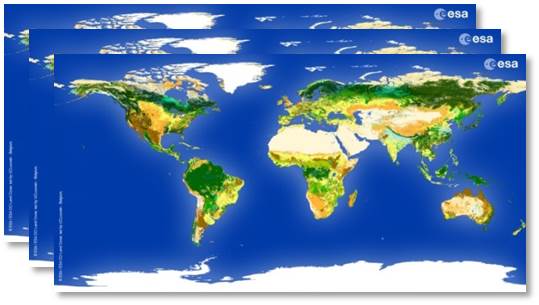
CCI Land Cover products