![]()
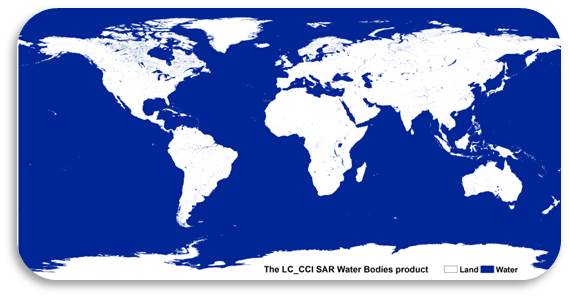
Global Water Bodies
Submitted by Anonymous on Wed, 2014-10-01 22:45


Global map of open permanent water bodies at 300m spatial resolution derived from the full ENVISAT-ASAR dataset between 2005 and 2010
In an attempt to improve the characterization of inland water bodies in global LC products, a SAR-based approach has been implemented. Multi-temporal acquisitions of Envisat ASAR Wide Swath Mode with local gap fillers based on Image Mode and Global Monitoring Mode from the years 2005 to 2010, MERIS data and auxiliary datasets have been used to generate a single epoch map of permanent open water bodies at 300 m.

The water pixels of this map correspond to the class "Water Bodies" of the CCI-LC Maps.

For more information on the products, go to: http://maps.elie.ucl.ac.be/CCI/viewer.
For any further questions or concerns, contact us at contact@esa-landcover-cci.org.
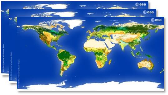
CCI Land Cover products