![]()
Validation
Submitted by Anonymous on Thu, 2010-09-09 13:54


A critical step in the acceptance of the CCI products by the GCOS and CMC communities is providing confidence in the quality of each CCI product and its uncertainties through validation against independent data such as ground based reference measurements or alternate estimates from other projects and sensors. The validation plan of the land cover CCI product is aimed at fulfilling the CEOS Working Group on Calibration and Validation stage-3 validation requirements, i.e. (i) uncertainties in the product will be quantified from comparison with suitable reference data and (ii) spatial and temporal consistency of the product will be evaluated. The validation results are expected to develop further international confidence on these global land cover products.
The first release of the Product Validation Plan deals primarily with the thematic accuracy of the CCI land cover products. Information on the positional accuracy assessment will be available in the document related to geometric correction. The thematic accuracy of the three global land cover maps for “epochs” 2000, 2005 and 2010 will be assessed using reference datasets acquired at similar time windows (few-years length) compared to the input data time acquisitions of the products. The validation of the products will be implemented independently from the production phase.
The overall validation process of the product relies on 3 complementary pillars: (i) the confidence building procedure, (ii) the statistical accuracy assessment, (iii) the comparison with other global land cover products and (iv) the temporal consistency assessment between the CCI land cover products.
»
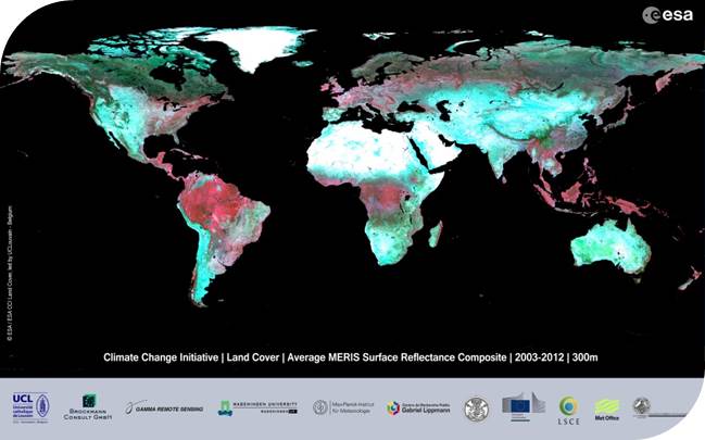
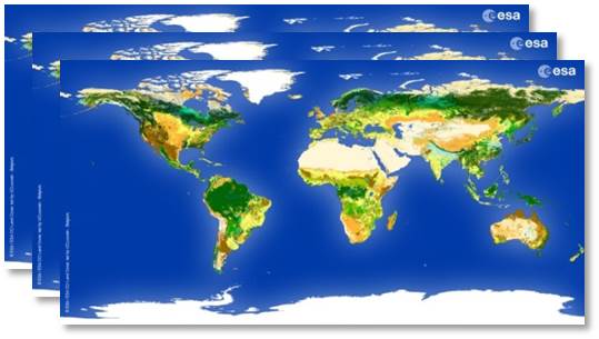
CCI Land Cover products