![]()
User tool
Submitted by Anonymous on Wed, 2014-10-01 22:50


CCI-LC User Tool
Dedicated user tool for allowing fitting land cover products to climate models by sub-setting, projection resampling re-projecting and re-sampling and by converting land cover classes into Plant Functional Types according to default or
user-defined cross-walking tables.
Functionalities:
- Ranking of LC class by fractional area in target cell; first n entries of sorted list are written to n bands (n is user parameter, called majority classes),
- Fractional area of each LC class,
- Fractional area of each PFT.
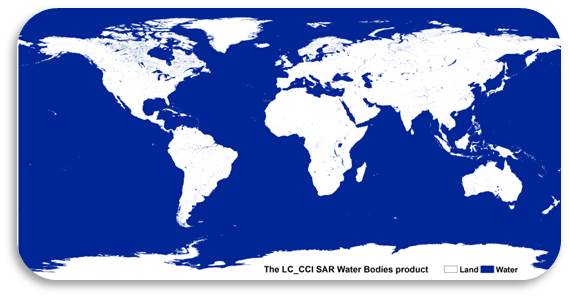
Note that the current version of the user tool (v3.3) is not working with the CCI-LC Water Bodies product yet. This will be included in the next user tool version and this is reason why it can still be fine tuned.
For more information on the products, go to: http://maps.elie.ucl.ac.be/CCI/viewer.
For any further questions or concerns, contact us at contact@esa-landcover-cci.org.
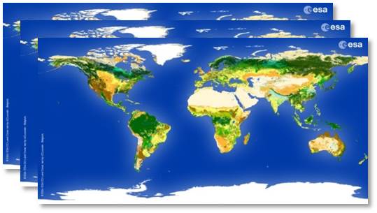
CCI Land Cover products