![]()
Successful Final Review Meeting for Phase 1
Submitted by Anonymous on Fri, 2014-04-04 12:06


The Land Cover Consortium held a successful final Review Meeting on Dec 05-06, 2013 in ESRIN, during which the major findings and achievements of this project were presented and thoroughly discussed. Though the total project length took longer than anticipated (42 months instead of 36 months), the consortium reached its targets by completing the development and validation of the following products:
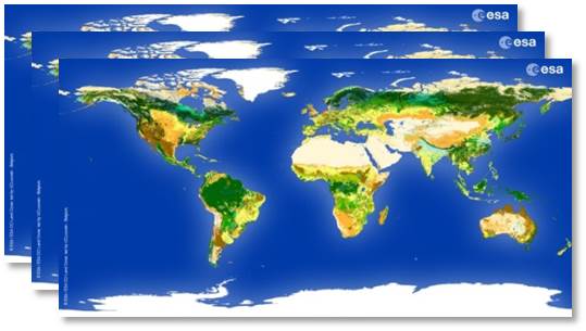
- three global land cover maps, corresponding to the 2000, 2005 and 2010 epochs,
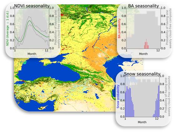
- three global land cover condition products (on the NDVI, snow and burnt areas),
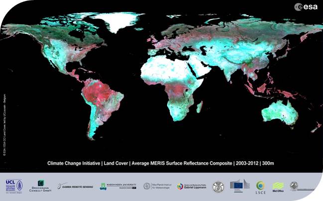
- the surface time series for the whole MERIS archive made of 7-day composites,
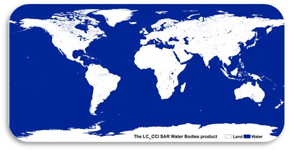
- a SAR-based global water bodies product.
Additional information and details on the products can be found in Newsletter 5.
Challenges foreseen for a potential 36 month-long Phase 2 were also discussed during the meeting.
CCI Land Cover products