![]()
CCI Land Cover: launch of Phase 2
Submitted by Anonymous on Fri, 2014-04-04 12:56


The Land Cover CCI consortium is pleased to announce that ESA has decided to continue the work on global land cover map development for climate modeling applications with the current CCI consortium. One additional partner has yet joind the team: University of Pavia. UPavia will collaborate with UJena on the development of specific algorithms for urban area detection at the global scale.
This new project phase (Phase 2) officially kicked-off on February 1 and will last for a period of 36 months. The project aims at capitalizing the results of Phase 1.
This project will follow an iterative life-cycle of concurrent development and production and will implement, in parallel, continuous system and algorithm improvements. The project aims to exploit the data acquired in the early days of remote sensing one hand and in the near future by the Sentinel-1, -2 and -3 missions on the other hand. The prototype ECV production systems implemented in the CCI-LC Phase I will be developed to a sustainable level and evolving land products will continue to be driven by climate science, specific users’ communities and GCOS.
The specific objectives of the CCI-LC project are fourfold:
- improvement of the Phase I outcomes in terms of products, systems and validation;
- extensions of the Phase I outcomes in terms of products, systems and validation;
- extension of climate modelling assessment and cross-analysis;
- building a cross-ECV consistency.
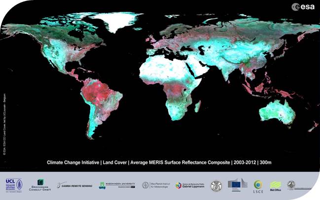
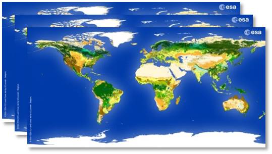
CCI Land Cover products