![]()
First official release of a new generation of satellite-derived global land cover products
Submitted by Anonymous on Wed, 2014-10-01 14:38


The CCI Land Cover (LC) team is proud to announce the release of its 5 key products to its climate and LC communities:
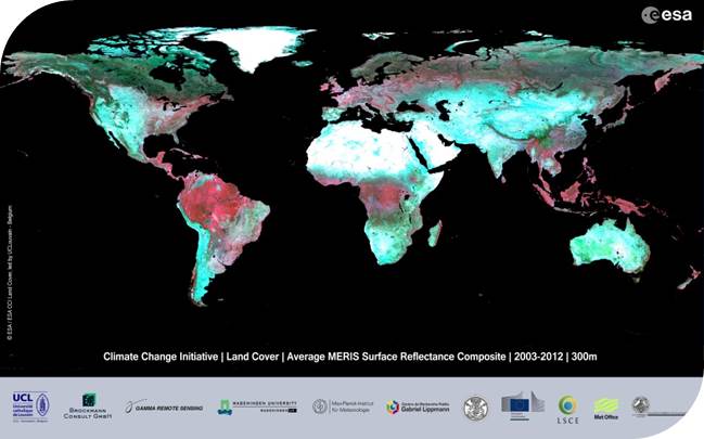
- the full archive (2003-2012) of MERIS Full Resolution time series pre-processed in 7-day composites,
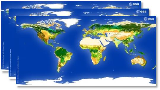
- three global LC maps representative for the 1998-2002, 2003-2007 and 2008-2012 epochs,
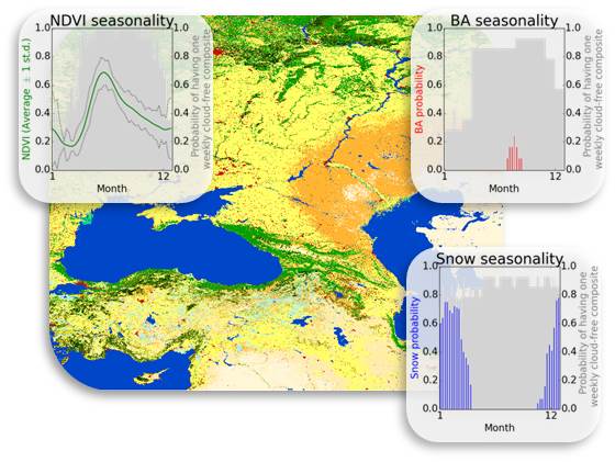
- three global land cover seasonality products describing the vegetation greenness, the snow and the burned areas occurrence dynamics,
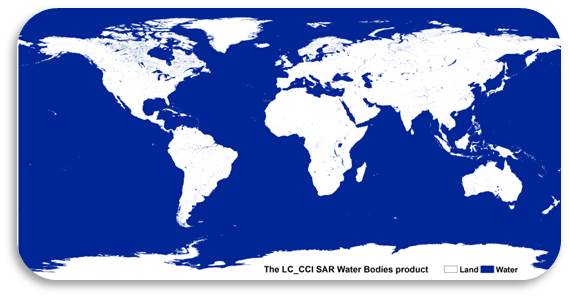
- a global map of open and permanent water bodies at 300m spatial resolution,
- a user tool for sub-setting, re-projecting and re-sampling the products.
All products can be freely visualized and accessed online at http://maps.elie.ucl.ac.be/CCI/viewer.
Additional information can also be found in the last edition of the project newsletter.
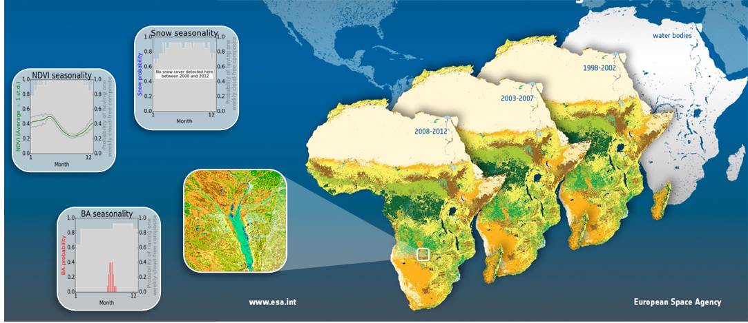
CCI Land Cover products