![]()
Prototype Land Cover map over Africa at 20m released
Submitted by abellavia on Tue, 2018-02-06 23:41


In September 2017, a prototype high resolution Land Cover map over Africa was released. It has been developed at 20m, based on 1 year of Sentinel-2 A satellite observations from December 2015 to December 2016. The main objective to make public this prototype is to collect user’s feedback for further improvements. In this context, there has already been 1000 downloads and 17 000 views.
The Coordinate Reference System used for the global land cover database is a geographic coordinate system (GCS) based on the World Geodetic System 84 (WGS84) reference ellipsoid.
The legend of the S2 prototype LC 20m map of Africa 2016 was built after reviewing various existing typologies (e.g. LCCS, LCML…), global (e.g. GLC-share, GlobeLand30) and national experiences (Africover, SERVIR-RMCD). The legend includes 10 generic classes that appropriately describe the land surface at 20m: "trees cover areas", "shrubs cover areas", "grassland", "cropland", "vegetation aquatic or regularly flooded", "lichen and mosses / sparse vegetation", "bare areas", "built up areas", "snow and/or ice" and "open water".
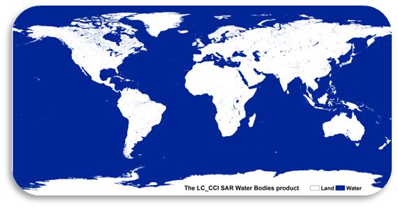
Among the Land Cover classes, two of them were largely identified thanks to external dataset: the "open water" class was based on the Global Surface Water product from JRC/EC and the "urban areas" relied both on the Global Human Settlement Layer from JRC/EC and on the Global Urban Footprint from DLR.
To visualise and dowload product, click here
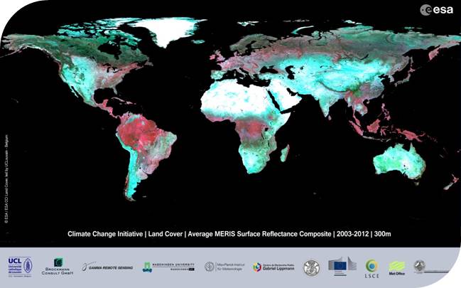
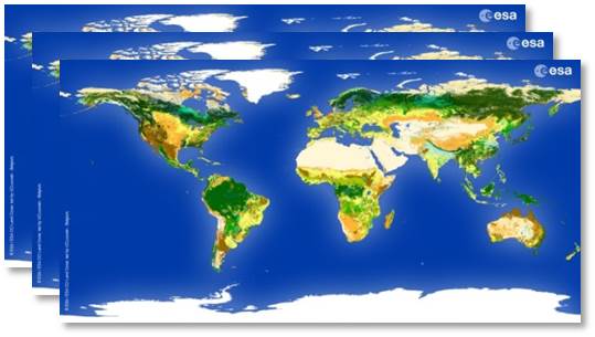
CCI Land Cover products